tile-maker
Version:
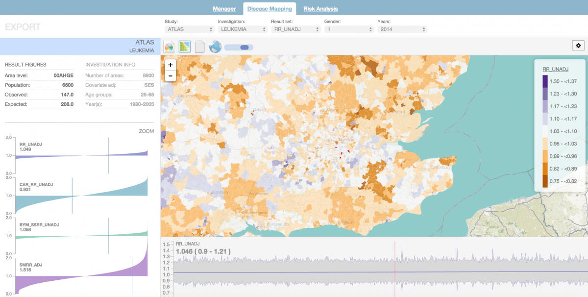
Node web services and example front end to convert a collection of ESRI shapefiles into a complete administrative geography; e.g USA, states, counties, census tracts, census block groups into TopoJSON tiles optimised for a series to map zoomlevels. Typica
755 kB
image/png