svgmap-karnataka
Version:
Interactive map of Karnataka for React
108 lines (84 loc) • 3.02 kB
Markdown
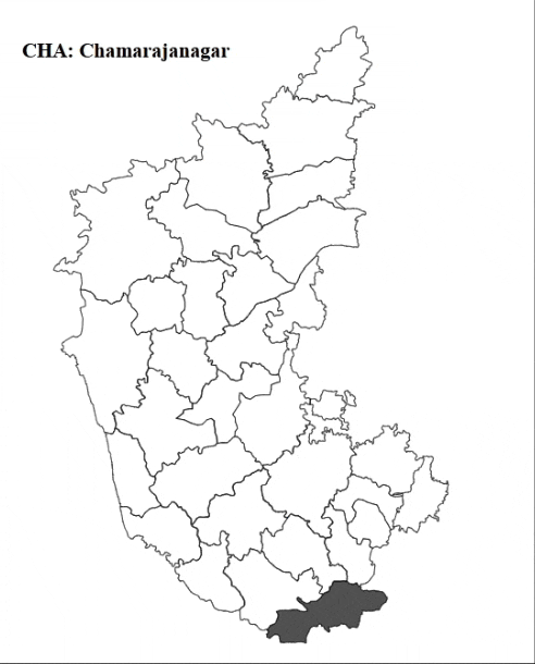
This package generates an interactive SVG map of Karnataka. It allows users to highlight districts on hover and retrieve the value of the selected district.
Install the package via npm:
```bash
pnpm install svgmap-karnataka
```
The following are the districts mapped with its ID.
```js
export const districtNames = {
BID: 'Bidar',
GUL: 'Gulbarga',
YAD: 'Yadgir',
BIJ: 'Bijapur',
BEL: 'Belgavi',
UTT: 'Uttara Kannada',
SHI: 'Shimoga',
UDU: 'Udupi',
DAK: 'Dakshina Kannada',
KOD: 'Kodagu',
MYS: 'Mysuru',
CHA: 'Chamarajanagar',
MAN: 'Mandya',
RAM: 'Ramanagara',
BUR: 'Bengaluru Urban',
BRU: 'Bengaluru Rural',
KOL: 'Kolar',
CHI: 'Chikkaballapura',
TUM: 'Tumkuru',
CHD: 'Chitradurga',
DAV: 'Davanagere',
VIJ: 'Vijayanagara',
BAL: 'Ballari',
RAI: 'Raichur',
KOP: 'Koppal',
GAD: 'Gadag',
DHR: 'Dharwad',
BAG: 'Bagalkot',
HAS: 'Hassan',
CHK: 'Chikmagalur',
HAV: 'Haveri',
}
```
```jsx
'use client'
import React, { useState } from 'react'
import KarnatakaMap, { districtNames } from 'svgmap-karnataka'
export const App = () => {
const [selectedValue, setSelectedValue] = useState<string | null>(null)
return (
<div>
<h3 style={{ position: 'absolute' }}>
{
selectedValue ? `${selectedValue}: ${districtNames[selectedValue]}` : 'None'
}
</h3>
<KarnatakaMap
onClick={(value: string) => setSelectedValue(value)}
size="400px"
mapColor="white"
strokeColor="black"
strokeWidth="3"
hoverColor="rgb(80 80 80)"
/>
</div>
)
}
export default App
```
| Props | Description | Requirement | Default Value |
|-------------|---------------------------------------------------------|-------------|---------------|
| onClick | Callback function to get the selected state value. | Required | NA |
| className | Custom classname for the map component. | Optional | "svgmap" |
| size | Width of the map. | Optional | "inherit" |
| mapColor | Color of the map. | Optional | "#ffffff" |
| strokeColor | Border color of each state. | Optional | "#000000" |
| strokeWidth | Border width of each state. | Optional | "0.5" |
| hoverColor | Color of the state while hovering on it. | Optional | "#303030" |
Pull requests are welcome.