@thi.ng/pixel-io-geotiff
Version:
GeoTIFF reader support for @thi.ng/pixel
130 lines (94 loc) • 4.15 kB
Markdown
<!-- This file is generated - DO NOT EDIT! -->
<!-- Please see: https://github.com/thi-ng/umbrella/blob/develop/CONTRIBUTING.md#changes-to-readme-files -->
# 
[](https://www.npmjs.com/package/@thi.ng/pixel-io-geotiff)

[](https://mastodon.thi.ng/@toxi)
> [!NOTE]
> This is one of 205 standalone projects, maintained as part
> of the [.ng/umbrella](https://github.com/thi-ng/umbrella/) monorepo
> and anti-framework.
>
> 🚀 Please help me to work full-time on these projects by [sponsoring me on
> GitHub](https://github.com/sponsors/postspectacular). Thank you! ❤️
- [About](#about)
- [Status](#status)
- [Installation](#installation)
- [Dependencies](#dependencies)
- [API](#api)
- [Authors](#authors)
- [License](#license)
## About
GeoTIFF reader support for [.ng/pixel](https://github.com/thi-ng/umbrella/tree/develop/packages/pixel).
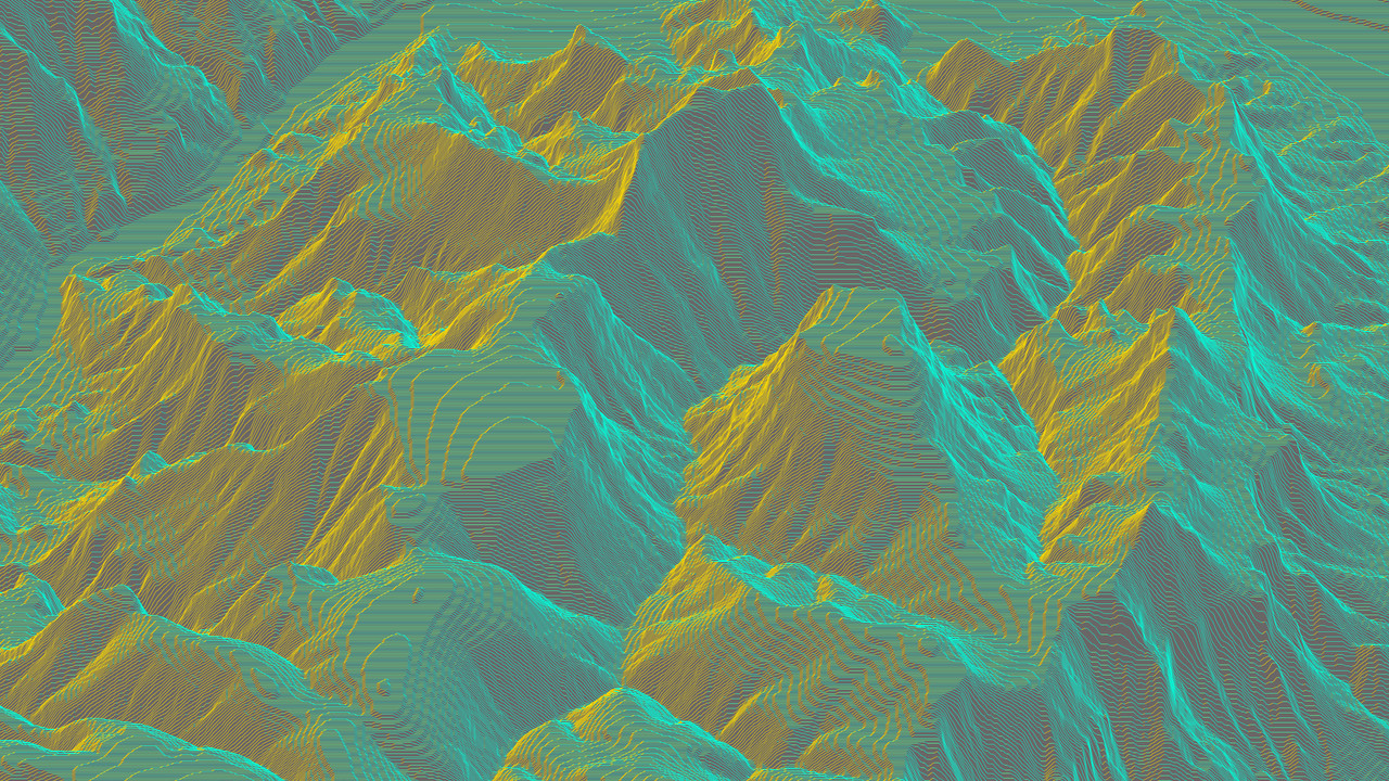
This package is only intended to simplify obtaining DEM (elevation) data and not
aimed at general
[GeoTIFF](http://docs.opengeospatial.org/is/19-008r4/19-008r4.html)
functionality. For the latter we recommend using the wrapped
[geotiff.js](https://geotiffjs.github.io/) package directly.
## Status
**STABLE** - used in production
[Search or submit any issues for this package](https://github.com/thi-ng/umbrella/issues?q=%5Bpixel-io-geotiff%5D+in%3Atitle)
## Installation
```bash
yarn add .ng/pixel-io-geotiff
```
ESM import:
```ts
import * as geo from "@thi.ng/pixel-io-geotiff";
```
Browser ESM import:
```html
<script type="module" src="https://esm.run/@thi.ng/pixel-io-geotiff"></script>
```
[JSDelivr documentation](https://www.jsdelivr.com/)
For Node.js REPL:
```js
const geo = await import("@thi.ng/pixel-io-geotiff");
```
Package sizes (brotli'd, pre-treeshake): ESM: 399 bytes
## Dependencies
- [.ng/api](https://github.com/thi-ng/umbrella/tree/develop/packages/api)
- [.ng/pixel](https://github.com/thi-ng/umbrella/tree/develop/packages/pixel)
- [geotiff](https://github.com/geotiffjs/geotiff.js)
Note: .ng/api is in _most_ cases a type-only import (not used at runtime)
## API
[Generated API docs](https://docs.thi.ng/umbrella/pixel-io-geotiff/)
```ts
import { GRAY16 } from "@thi.ng/pixel";
import { readGeoTiff } from "@thi.ng/pixel-io-geotiff";
import { asPGM16 } from "@thi.ng/pixel-io-netpbm";
import { readFileSync } "node:fs";
// load GeoTIFF image and convert to thi.ng/pixel floatBuffer
// the result image uses a custom pixel format (FLOAT_GRAY_RANGE, with [min..max]
// set to the analyzed value range found in the source image raster...)
const result = await readGeoTiff(readFileSync("USGS_1_n37w119_20211004.tif"));
// { img: FloatBuffer { size: [ 3612, 3612 ], ... }, tiff: { ... } }
// convert to 16bit PGM
writeFileSync("n37w119.pgm", asPGM16(result.img.as(GRAY16)));
// the result also contains the original TIFF image
// (see 3rd party geotiff package for more details)
result.tiff.getGDALMetadata(0);
// {
// LAYER_TYPE: '*',
// RepresentationType: '*',
// STATISTICS_MAXIMUM: '4412.8549804688',
// STATISTICS_MEAN: '2114.5010480446',
// STATISTICS_MINIMUM: '140.41374206543',
// STATISTICS_STDDEV: '918.91201914189',
// STATISTICS_VALID_PERCENT: '100'
// }
```
## Authors
- [Karsten Schmidt](https://thi.ng)
If this project contributes to an academic publication, please cite it as:
```bibtex
{thing-pixel-io-geotiff,
title = "@thi.ng/pixel-io-geotiff",
author = "Karsten Schmidt",
note = "https://thi.ng/pixel-io-geotiff",
year = 2023
}
```
## License
© 2023 - 2025 Karsten Schmidt // Apache License 2.0